Aug 162020
 

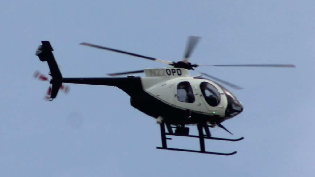
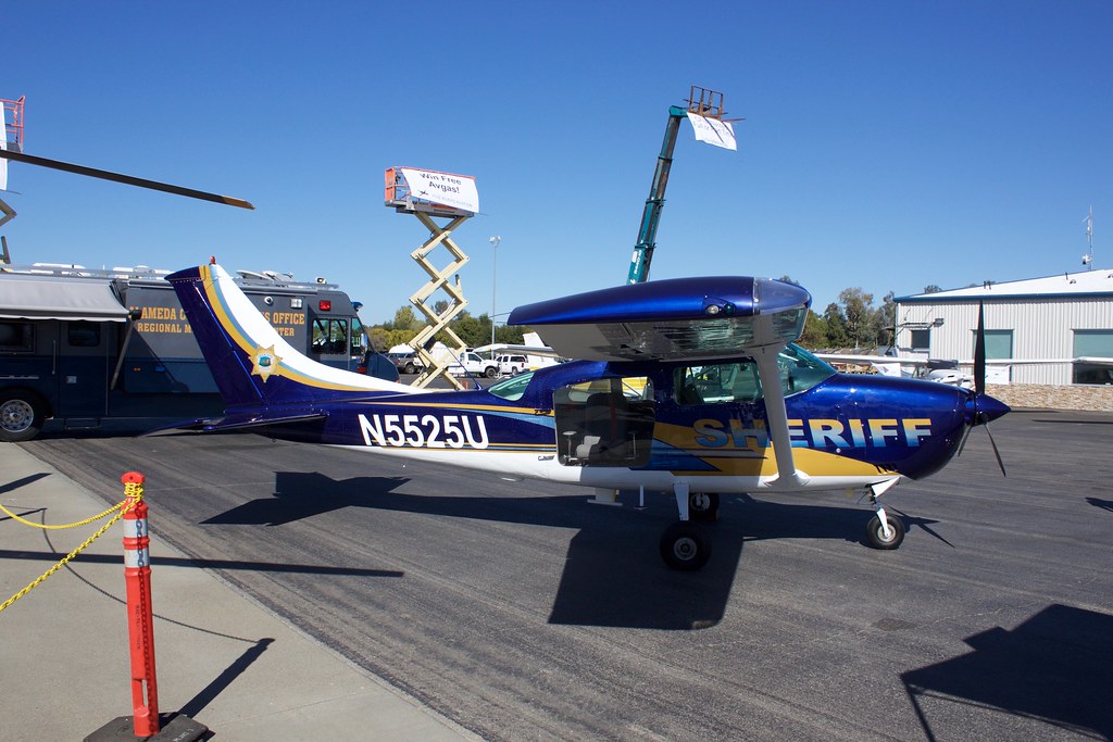
San Ramon, a small city in Contra Costa County with a very low crime rate, approved spending more than $1.2 million to blanket the city in automated license plate readers (ALPRs) and surveillance cameras at its April 28, 2020, meeting.

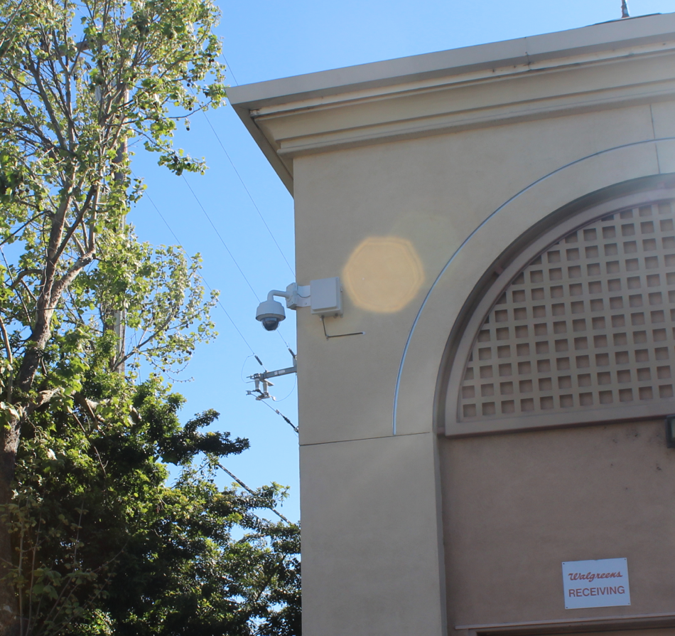
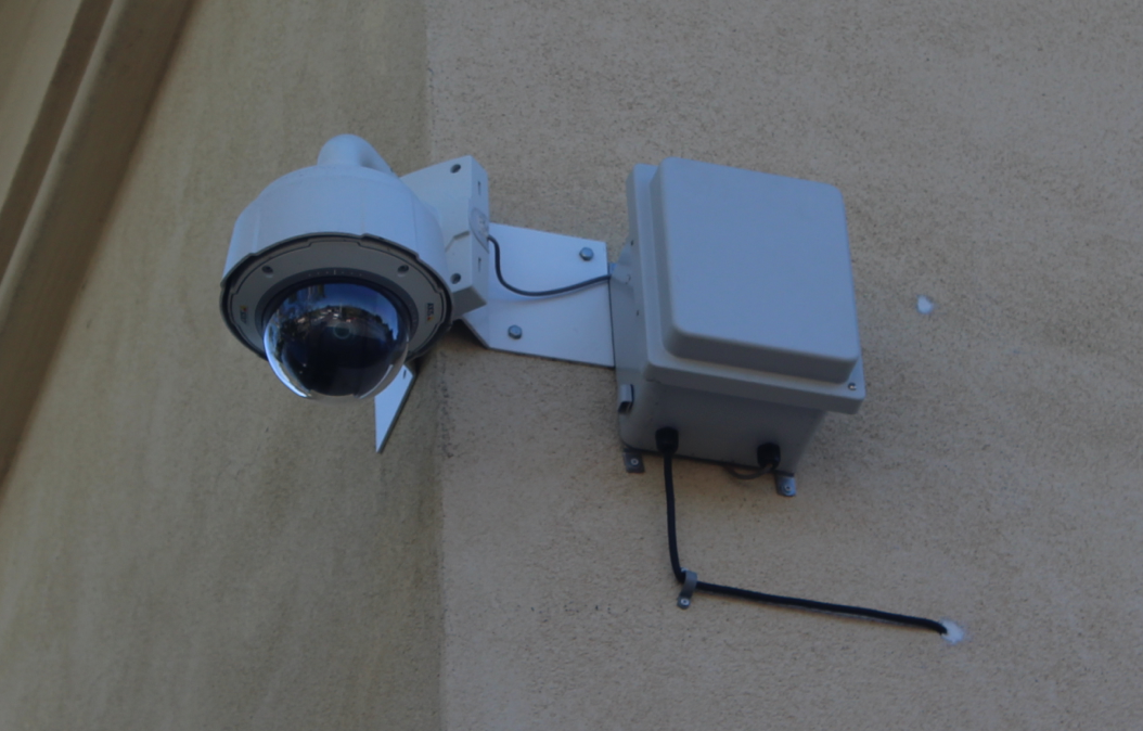
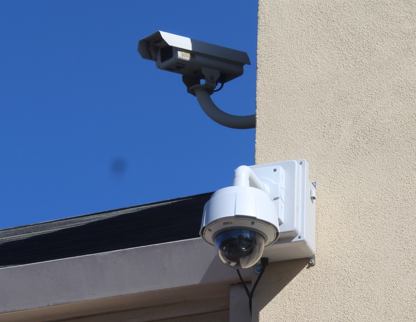
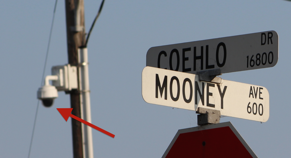
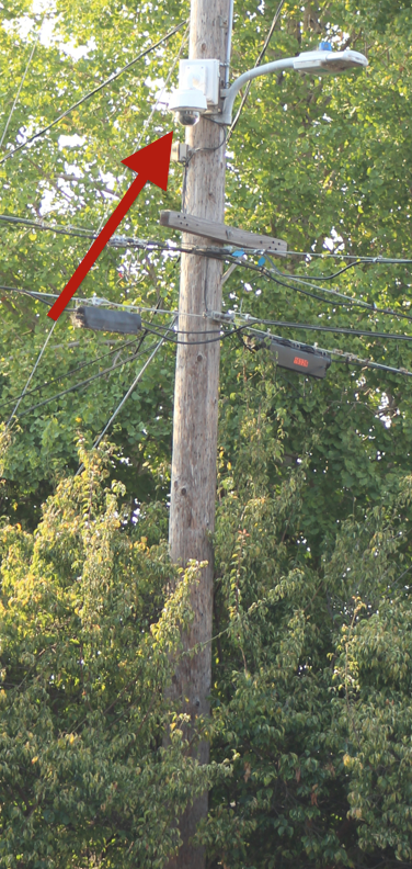
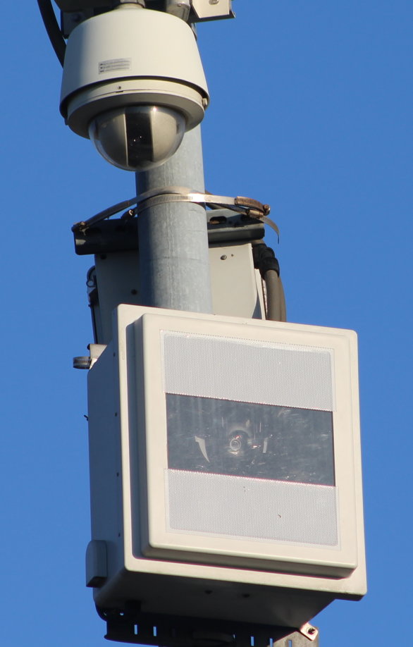
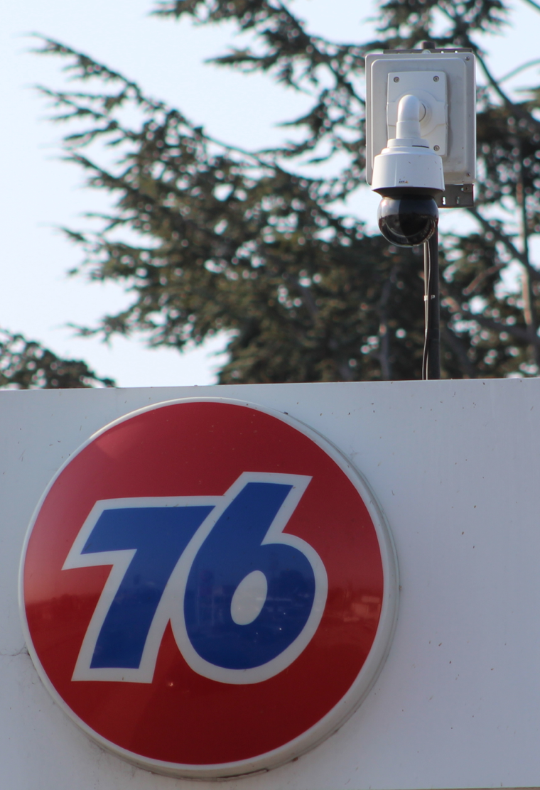
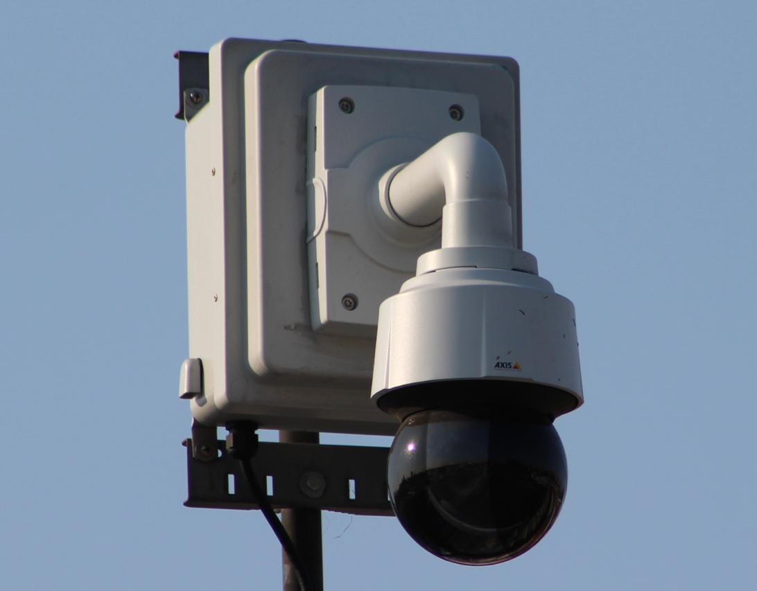
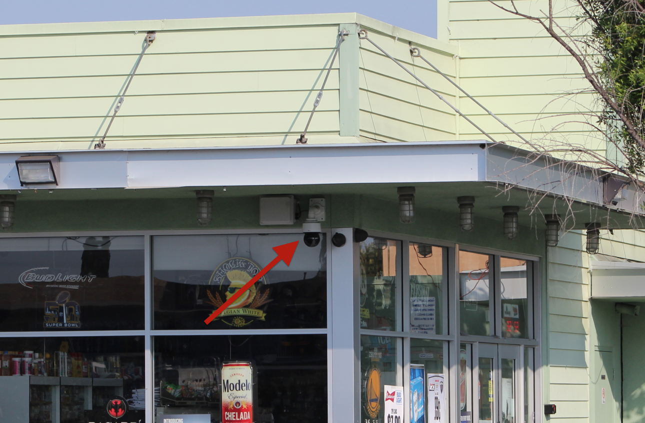
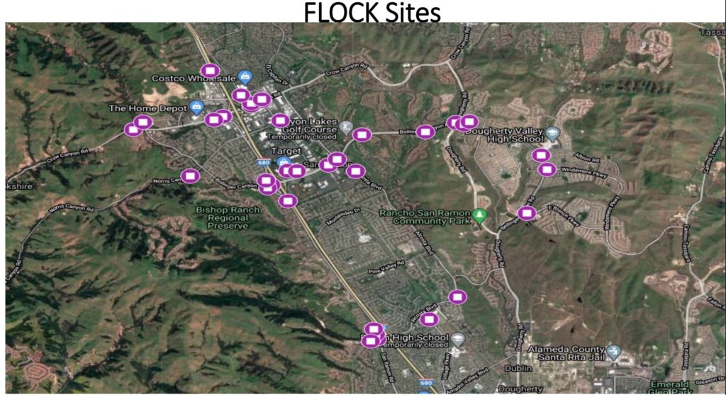
The amount includes 12 stationary ALPRs at five locations from Vigilant Solutions, 35 ALPRs from Flock Safety and 46 Avigilon surveillance cameras. Eight police vehicles are already equipped with Vigilant ALPRs and Flock Safety cameras are already installed at the intersection of Camino Ramon and Crow Canyon and the northeast intersection of Crow Canyon Boulevard and Crow Canyon Place.

Map of proposed Flock Safety camera locations in San Ramon.
Purple icons represent proposed locations of Flock Safety ALPRs in San Ramon.

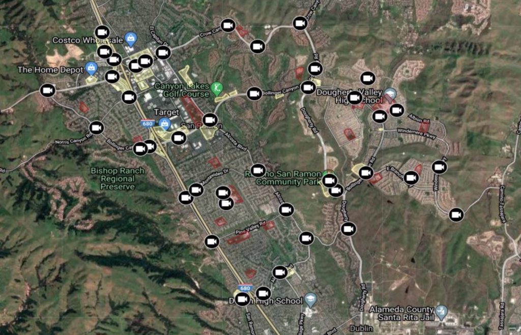
According to a presentation by San Ramon Police Lieutenant Cary Goldberg on April 28, 2020, the surveillance cameras would offer “coverage on every route of ingress/egress,” “184 viewing angles throughout out the city” and vehicles would likely pass “multiple cameras when travelling [sic] in San Ramon.”

Map of proposed locations for surveillance cameras in San Ramon.
The video camera icon indicates the proposed locations of surveillance cameras in San Ramon.

Goldberg said that data from Flock Safety cameras can be searched for animals and “If the camera detects an animal in the car, it will bring up that particular picture of the vehicle if it, in fact, captured it.” The data can also be searched for bicycles and people. “If it detects a person in a car, it’s going to show you an image of that person.” Goldberg said the locations were chosen so “we can capture all our routes of ingress, coupled with the situational [surveillance] cameras so we have a virtual fence around the city.”

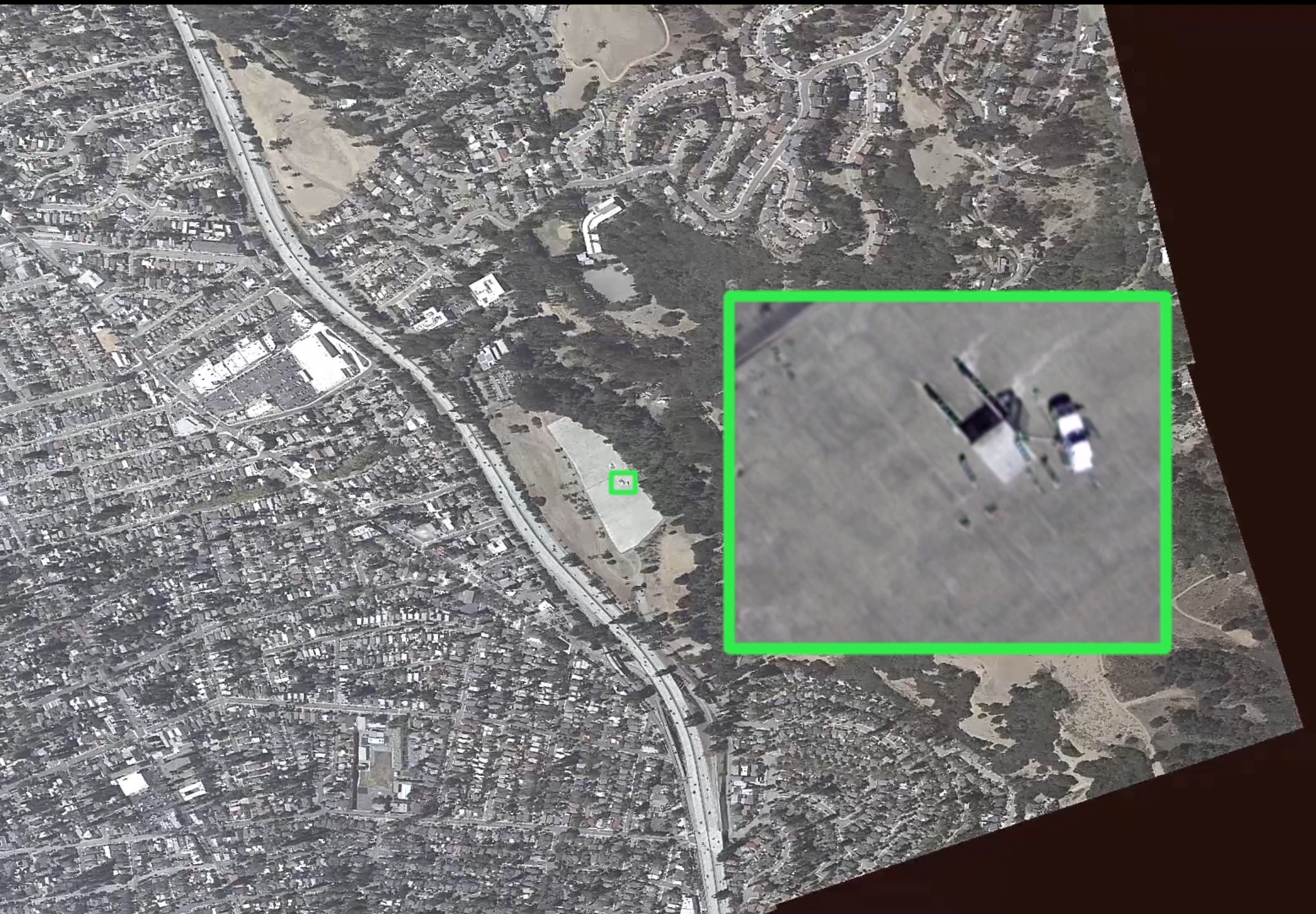
During the presentation, Goldberg showed an image captured by a Flock Safety ALPR at Crow Canyon Place at Crow Canyon Road of a Honda Odyssey van with its California license plate clearly visible. Another image from the same location at night provided the license plate of a Ford pickup and the fact that the license plate had been seen 13 of the last 26 days (indicating that it was likely driven by a resident of San Ramon). We have redacted the license plate numbers in the presentation produced in response to our public records request.

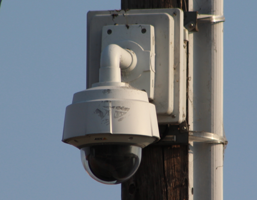
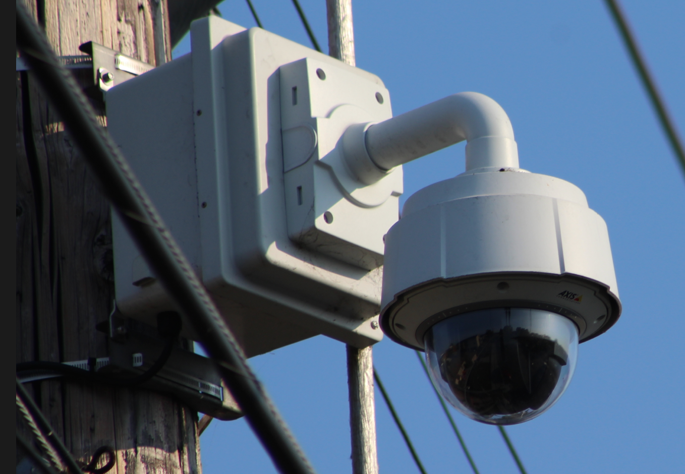
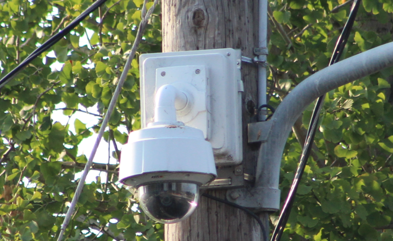
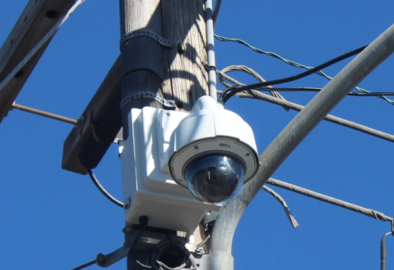
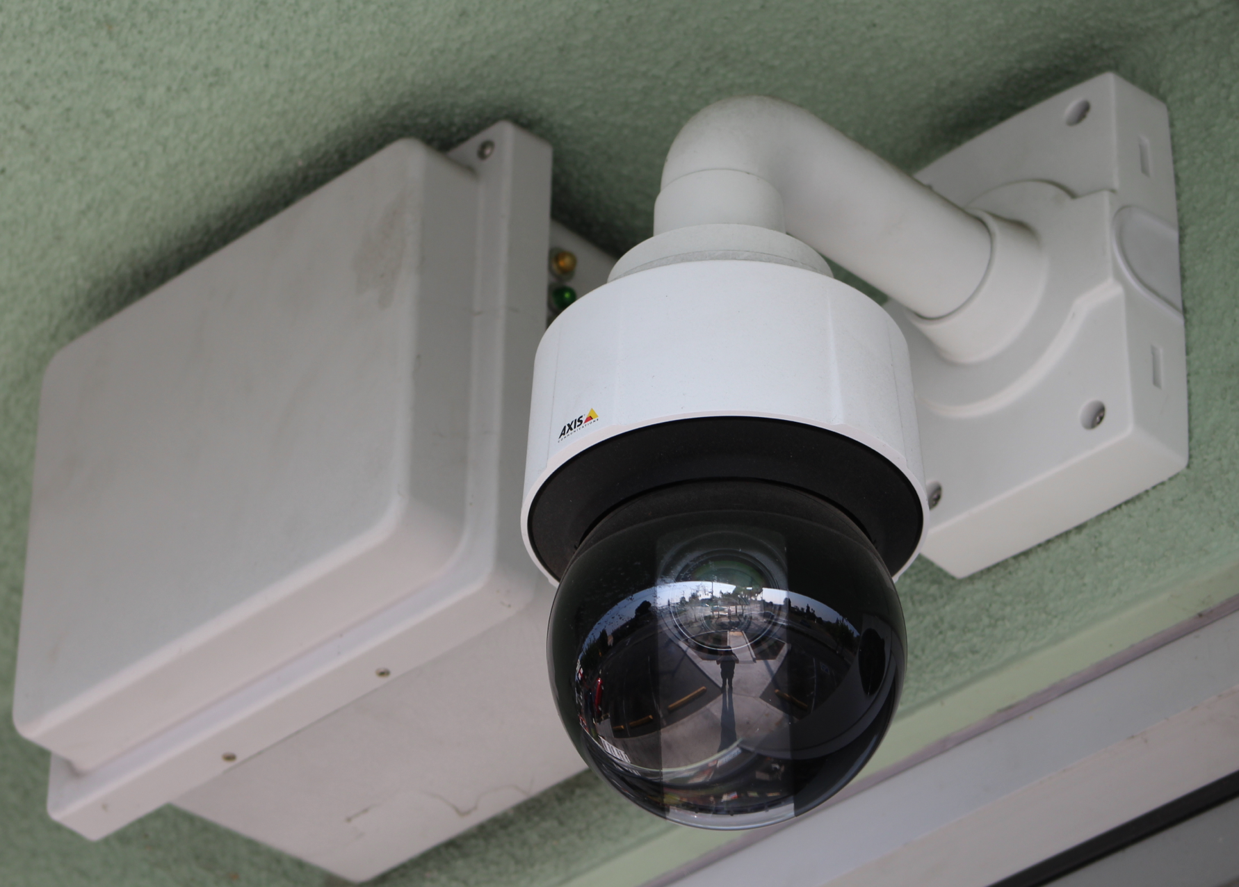
Each of the Avigilon surveillance cameras actually has four cameras to provide 360-degree coverage. In addition to recording video 24×7, “The officers also have the ability to watch this live. Let’s say if we had an event, we had a protest, whatever the case is, the officers would have the ability to log in to one of these through the software and watch these live, watch any number of these cameras live.” According to Goldberg, a vehicle can be tagged and the software can display any video captured of that vehicle without searching individual camera footage. The software can also generate alerts for unusual motion detection, such as a car crash, according to Goldberg.

Proposed locations for the Vigilant Solutions ALPRs include Dougherty Road, the intersection of Camino Tassajara and Windermere Parkway, Crow Canyon Road, and the intersection of Alcosta Blvd and San Ramon Rd. [Note: The slide describing the Vigilant ALPRs showed an image of 3M ALPRs.]

Data Retention

The presentation to the San Ramon City Council said that the data collected by Vigilant Systems ALPRs would be retained for two years. Data from the Flock Safety ALPRs would be retained for 30 days. Data collected by the Avigilon surveillance cameras would be retained for 30 days. The San Ramon Police Department policy for license plate readers only states that the data will be retained for a minimum of one year. The police didn’t explain the difference in retention periods or the conflict with the existing policy and the City Council didn’t ask. When we asked Lt. Goldberg about why images from the surveillance cameras and Flock license plate readers were retained for 30 days while data captured by Vigilant Solutions license plate readers is retained for two years, he responded (but didn’t explain), “we have continuously maintained a 2 year retention period for the images uploaded into the LEARN [Vigilant Solutions] database.”

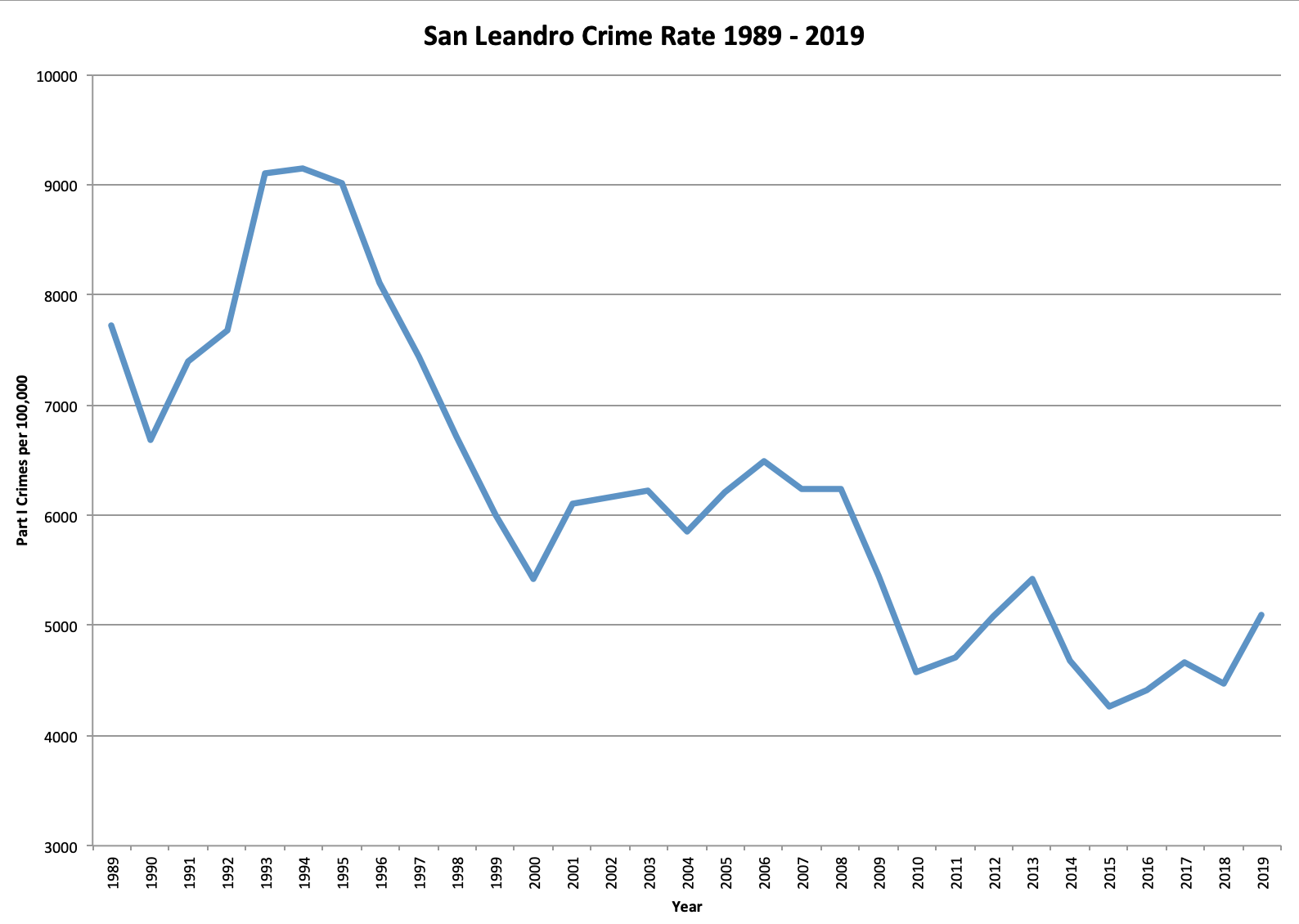
San Ramon Councilmember Phil O’Loane raised the only objection, based on the cost of the project, which was nearly double what he was expecting. O’Loane said, “My understanding of where we were starting was stationary license plate readers at key intersections and such and we’ve gone to something between zero and the City of London” noting that San Ramon has one of the lowest crime rates in the state. “I thought we were going to spend six or seven hundred thousand dollars and we’re doubling that. There’s been significant scope creep on this.” “We’ve got the same crime rate we’ve had since I was on the Council on average.” In fact, San Ramon’s crime rate is not only low but has declined significantly in the past 30 years.

The figure below is based on data reported by the San Ramon Police Department to the FBI and represents the annual crime rate per 100,000 people from 1985 to 2018.
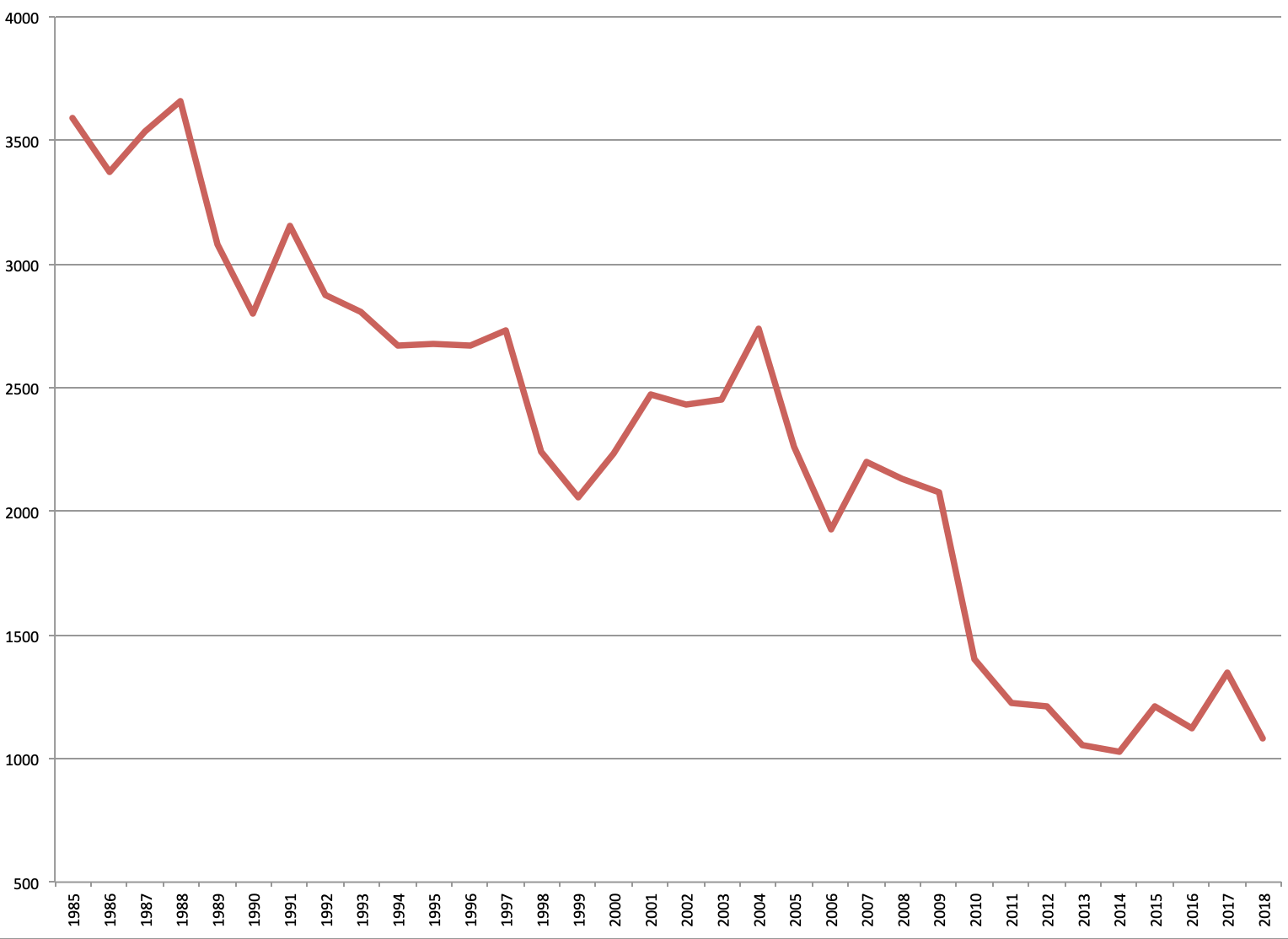
Documents:

Jun 272020
 

Police aircraft are frequently spotted circling around peaceful protests around the country. These aircraft are typically equipped with high-powered cameras with equipment capable of recording and transmitting the video captured by the equipment. This article focuses on law enforcement aircraft used in the San Francisco Bay Area.

At a protest one week after San Leandro Police shot and killed Steven Taylor on April 18, 2020, an Oakland Police helicopter with the tail number N220PD was observed circling protesters as they drove to the Walmart where Taylor was killed.

Oakland Police Department McDonnell Douglas 369E helicopter N220PD. Photo by Mike Katz-Lacabe.
Oakland Police Department McDonnell Douglas 369E helicopter N220PD

N220PD has a FLIR 8500 camera that installed in Jan. 2016. According to the manufacturer, the camera has thermal imaging and can auto track a target or scene and point a laser to direct ground forces.

Examples of what the FLIR 8500 camera is capable of can be seen in this promotional video from YouTube.

The Oakland Police Department’s other helicopter, tail number N510PD, also has a FLIR 8500 camera.

Oakland Police Department McDonnell Douglas 369E helicopter N510PD. Source: flickr.com
Oakland Police Department McDonnell Douglas 369E helicopter N510PD

An East Bay Regional Park District Police helicopter with tail number N996PD was seen circling Oakland during protests against police brutality in the wake of the murder of George Floyd in Minneapolis. N996PD has a FLIR U8500XRLP camera that was installed in 2010.

East Bay Regional Park District Police Eurocopter AS350B2 helicopter N996PD. Source: flickr.com
East Bay Regional Park District Police Eurocopter AS350B2 helicopter N996PD

A second East Bay Regional Park District Police helicopter with tail number N708PD also has a FLIR 8500 camera, a high-intensity SX-16 searchlight and a basket/pod attachment for rescues.

East Bay Regional Park District Poice Eurocopter AS350B3 helicopter N708PD. Source: flickr.com
East Bay Regional Park District Police Eurocopter AS350B3 helicopter N708PD

The Alameda County Sheriff’s Office has a Cessna U206G airplane, tail number N5525U, with a FLIR 8500 camera, Avalex AVR8000 digital video recorder, and BMS BMT75-9P Microwave Downlink System.

Alameda County Sheriff Cessna U206G airplane N5525U

The Alameda County Sheriff’s second airplane is a Cessna 206H with tail number N10CX. It is equipped with a FLIR 8500 camera, and a Garmin GTN750 navigation system. On May 10, 2022, the Alameda County Board of Supervisors approved nearly $700,000 to install a Wescam MX-10 camera system and a Churchill moving map system similar to the one on its new Bell helicopter.

Alameda County Sheriff Cessna 206H airplane N10CX

The Alameda County Sheriff’s Office will soon have its own helicopter: a Bell Textron 505 Jet Ranger X equipped with a Wescam MX-10 camera system, Trakkabeam TLX Searchlight, AEM 300 watt Loudhailer loudspeaker, and Churchill ARS700 Map System connected to the MX-10 camera and TLX Searchlight. The no-bid $3 million helicopter purchase was approved on October 29, 2019, by the Alameda County Board of Supervisors.

Alameda County Sheriff Bell Textron 505 Jet Ranger X Helicopter N911AC

A California Highway Patrol airplane, tail number N137HP, was also seen circling the George Floyd protests in Oakland in June 2020. This Gippsaero is equipped with a Wescam MX-15 camera, Uniden BCD536HP scanner, and Rho Theta RT-600 Multi-Band Direction Finder.

California Highway Patrol Gippsaero GA8-TC230 airplane N137HP.

According to the manufacturer, the Wescam MX-15 camera is ideal for “covert intelligence, surveillance & reconnaissance,” has thermal imaging, a laser illuminator to highlight targets and can track targets. A demonstration of its capabilities can be seen on YouTube.

The Contra Costa County Sheriff helicopter, tail number N408CC, is a Textron Canada 407, with a FLIR Star Safire 380-HDc camera system with a thermal image infrared sensor. The camera is interfaced to a searchlight slaving system, two video monitors and a Churchill augmented reality system (ARS-600). Like other surveillance cameras, it can automatically track targets. The FLIR Star Safire 380-HDc camera and its capabilities can be seen in this YouTube video.

Contra Costa County Sheriff Bell N408CC Textron Canada 407 helicopter N408CC

The San Jose Police Department helicopter, tail number N408PD, is an Airbus AS 350B3, with a Wescam MX-10 camera, Trakkabeam A800 Searchlight, Churchill ARS700 Map System, and a Power Sonix (“The Sound of Homeland Security”) loudspeaker.

San Jose Police Department Airbus AS350B3 helicopter N408PD

The Sonoma County Sheriff helicopter, tail number N108SC, is a Bell Textron 407 with a Wescam MX-10 camera, Aerocomputers UC6000 digital mapping system, Aero Dynamix night vision imaging system, Luminator HSL-1600 searchlight, and an AEM LS600 loudspeaker.

Sonoma County Sheriff Bell Textron Helicopter N108SC. Source: flickr.com
Sonoma County Sheriff Bell Textron Helicopter N108SC

Note: An earlier version of this article was posted to Oakland Privacy.

August 22, 2022 Update: The Alameda County Sheriff has a second airplane. It is a Cessna 206H with tail number N10CX. We have included details above with the other two aircraft owned by the Alameda County Sheriff.

Apr 232020
 

On April 21, 2020, the San Leandro City Council was scheduled to consider installing 10 surveillance cameras in areas recommended by the police department. However, the agenda item came the day after San Leandro police shot and killed Steve Taylor at a local Walmart. Publicity surrounding the shooting, including cell phone video from a bystander, led to outrage that may have caused city staff to pull the item off of the agenda.

There are already 12 surveillance cameras installed around the city that were originally used for traffic monitoring, but were converted to surveillance cameras and have been used since at least 2012.

CameraIntersectionMonitoring Streets
1Bancroft / Estudillo AvenueBancroft Ave (north leg)
2Marina / Merced StreetMarina Blvd (east leg)
3Hesperian / Halcyon StreetHesperian Blvd (south leg)
4Hesperian / SpringlakeHesperian Blvd (north leg)
5Marina / Teagarden StreetMarina Blvd (west leg)
6Washington / SpringlakeWashington Ave (south leg)
7E. 14th / Hesperian BlvdE. 14th St (north leg)
8E. 14th / San Leandro BlvdE. 14th St (north leg)
9E. 14th / Davis Street (SR 185-112)Davis St (west leg)
10Davis / Orchard AvenueDavis St (west leg)
11Davis / Polvorosa OverpassDavis St (east leg)
12Davis / San Leandro BlvdSan Leandro (south leg)

The $103,000 cost comes at a time when city revenues from sales taxes and other sources are declining drastically. Cal Matters recently reported, “City hall leaders now face an unsavory menu of service cuts, furloughs and staff reductions.”

For the past 30 years, the crime rate in San Leandro, as in much of the country, has been on a steady decline. This decrease in crime reported by the San Leandro Police Department to the FBI can be seen in the graph below.

On September 3, 2013, the San Leandro Police Chief proposed installing surveillance cameras at the city border with Oakland, citing a reduction in crime observed in Pittsburg after the surveillance cameras were installed. However, analysis of crime data from 2005 to 2010 in San Leandro and Pittsburg showed that crime decreased more in San Leandro, even though it had no surveillance cameras.

The proposed surveillance cameras were previously approved at the Facilities and Technology Committee meeting on March 4, 2020, by Councilmembers Corina Lopez and Deborah Cox. The presentation by the San Leandro Police focused on where crime occurred in the past three years as the basis for the proposed surveillance camera locations. No evidence was provided about the effectiveness of surveillance cameras, but some vague anecdotes were offered about crimes that were solved with the help of existing cameras. Mayor Pauline Cutter was absent from the meeting.

Documents:

Aug 052017
 

With a nod to Terminator’s self-aware computer network, the Solano County Sheriff in Northern California has applied for and received partial funding for Project Skynet, a network of surveillance cameras and automated license plate readers (ALPRs). Project Skynet would install 160 ALPRs and 124 surveillance cameras at 66 locations throughout Solano County. In its response to a request for public records, Daniel Wolk, Deputy County Counsel for Solano County noted, “this is at the proposal stage and specifics, including camera locations, have not been decided upon.”

Map of Phase I Camera/ALPR Locations

Map of Phase I Camera/ALPR Locations

Like the ring of stationary ALPRs around the City of Piedmont, the goal of the project is to capture images and video of all vehicles entering and exiting Solano County. According to a Microsoft PowerPoint presentation prepared by the Solano County Sheriff’s Office, the surveillance cameras would be capable of pan-tilt-zoom and data from the ALPRs and cameras would allow “real time information or years of past history.” The UASI grant application states, “In addition to the direct connection this project has with observing and locating terrorists, it also allows law enforcement to monitor human trafficking. I-80 is a major artery for drugs and human trafficking which are major funding sources for terrorism, from the west coast to the east.”

As with all grant applications to the Urban Areas Security Initiative, the project must have a nexus to terrorism. In its proposal for a Homeland Security Grant, the Solano County Sheriff writes, “We will be able to…locate persons and vehicles associated with terrorist threats, disrupt terrorist financing…” However, given that terrorism is extremely rare, this surveillance network is more likely to be used against pedestrian suspected criminal activity.

The PowerPoint document states, “There are 36 (666) locations, many of which are large freeways and near impossible to watch at once.” “666” is a police code for a county-wide emergency or be-on-the-lookout (BOLO). However, the grant application and approval documents cite 35 locations.

On July 13, 2017, the Bay Area Urban Areas Security Initiative (UASI) Approval Authority approved funding of $104,590 towards the $2 million total cost of Project Skynet.

Bay Area UASI Approval slide

The estimated $2 million cost for Project Skynet is broken down into phases with an estimated cost of $535,000 for Phase I, $568,000 for Phase II, and $895,000 for Phase III. Data from the ALPRs would be stored at the Northern California Regional Intelligence Center (NCRIC), the local joint fusion center that shares license plate reader data with dozens of local, state, and federal agencies.

The NCRIC stores license plate reader data for dozens of local law enforcement agencies and as of April 2015, stored 46.5 million records, which includes license plates and photographs of vehicles, including the occupants and surrounding area with geolocation data.

Oct 252016
 

Harris Corporation demonstrated its CorvusEye aerial surveillance system at the annual Urban Shield event organized by the Alameda County Sheriff’s Office in 2015. The aerial surveillance system was used as part of a water supply sabotage scenario at Dunsmuir Reservoir in Oakland.

The CorvusEye aerial surveillance system was developed by defense contractor Exelis, which Harris Corp. purchased in 2015. According to Harris’ web site, CorvusEye can provide continuous monitoring and tracking over a 2.7 square mile (7 square km) are during the day and 1.2 square miles (3.1 square km) at night.

Harris’ CorvusEye is a competitor to the system marketed by Persistent Surveillance Systems, which has been used to secretly monitor Baltimore and Compton, in Los Angeles County.

The surveillance footage provided by Harris Corp. to Urban Shield included Dunsmuir Reservoir, Interstate 580, Dunsmuir House and residential areas of Oakland and Sheffield Village. In an email dated September 9, 2015, a Harris Corporation marketing manager describes the video as “a live view of the reservoir showing 5 terrorists moving around on the reservoir.”

Harris CorvusEye

Click here for the video provided by Harris Corporation.

Harris also made a pitch for providing security for Super Bowl 50 at Levi’s Stadium:

Obviously, our team is interested in having CorvusEye help out with Super Bowl security. We’d love to sit down with him and his team to demo the footage we captured last month…is there any way you can make an introduction for us and perhaps set up quick 10-15 minute meeting to introduce him to CorvusEye?

A lieutenant from the Alameda County Sheriff’s Office responded with an offer of help:

I will do whatever I can to get you guys into the presentation on the Super Bowl. The folks from Santa Clara and Levi stadium will be at the VIP dinner Friday night. I will be there as well. Although I have not met these folks myself, let’s team up and track them down for a conversation! I have your back!

The details of how the CorvusEye surveillance systems works are explained in this video, produced by Exelis:

The annual Urban Shield event is an opportunity to introduce weapons, technology, and products developed for military and intelligence application to local law enforcement agencies.

Source material: Emails between Harris Corporation and Alameda County Sheriff’s Office


Sep 052016
 

Half of the Alameda County Sheriff’s Office’s 10 surveillance cameras have been installed on private property, including gas stations, a liquor store, and a pharmacy. The cameras are directed toward the street and intersections and do not appear to be intended to provide surveillance of the private property where they are installed.

The first two surveillance cameras were installed on the Walgreens building located at 15850 E 14th Street in unincorporated San Leandro. Five more surveillance cameras were installed later in 2007, including one overlooking the Lighthouse Worship Center, one at a 7-11, and one between two houses on Elgin Way. In 2015, surveillance cameras were installed at a 76 gas station in San Lorenzo, a Chevron station in Castro Valley, and Hank’s Liquor in Hayward.

The first two surveillance cameras were purchased with asset forfeiture funds in 2006 or 2007. In a September 15, 2006, memo from Lt. Brian Ballard to Alameda County Sheriff Charles Plummer, Ballard wrote, “Covert surveillance cameras can be deployed in the community to monitor high crime areas and aid in the apprehension and capture of criminals. Up to eight units may be deployed throughout the Law Enforcement Services Division based on need. Estimated unit cost is approximately $20,000 each for the Deluxe Model with an upgraded storage capacity to forty eight hours. Total cost for eight units is $160,000.” Despite the mention of eight surveillance cameras, it appears that only two were installed using the asset forfeiture funds.

A November 20, 2006 letter from Sheriff Plummer to the Alameda County Board of Supervisors stated, “One item is a covert surveillance camera that can be deployed ‘in the community to monitor high crime areas and aid in the apprehension and capture of criminals. A well planned and placed surveillance system can help stop criminals in their tracks.”

Debbie Schenkhuizen of Walgreens approved the installation of the two surveillance cameras in an email dated August 13, 2007 to Sgt. Joe Bricker of the Eden Township Substation of the Alameda County Sheriff’s office with the subject “E 14th Street Camera Project” stating, “This proposal sounds good and I have been given the green light to move forward with you on this.”

Five more cameras were installed in 2007.

In early 2014, the Alameda County Sheriff’s Office discovered that five of the seven cameras were not working. Alameda County Sheriff’s Deputy Robert Gaitan wrote in a Nov. 13, 2014 memo, “The current system was installed approximately ten years ago and current has NO technical support.” All seven cameras were replaced by Axis Q6044-E PTZ 720p cameras with 30x optical zoom at a cost of $66,483.23.

According to an October 7, 2015, email from Lt. Michael Toms to Assistant Sheriff Brett Keteles, “There are signs placed at all locations notifying the public that they are entering an area with surveillance cameras. The cameras record but aren’t monitored. Typically when something happens we review the recording at a later time. If a supervisor is at ETS they have the ability to access the cameras to watch a live view of activity being recorded. Access is password protected. The recordings are kept for seven (7) days and then are self-purged by the system. If we want to keep a recoding [sic] we have to transfer it to a DVD.” No signs notifying the public about video surveillance were observed at any of the surveillance camera locations.

The three most recent surveillance cameras are also Axis Q6044-E PTZ 720p cameras with 30x optical zoom. They were purchased from Tactical Video of Naperville, Illinois, in November 2015 for $28,379.23 as part of a no-bid sole source contract. Tactical Video’s tagline on its website is “Poweful Video Surveillance Systems.”

Three of the cameras captured portions of the Alameda County Sheriff’s pursuit of Stanislav Petrov from a Castro Valley motel to a San Francisco alley in November 2015.

When asked for a copy of any policies for video surveillance, the Alameda County Sheriff’s Office provided General Order 5.24, entitled “Collection, Preservation of Evidence/Property, Processing, Storage and Inspection.” The policy refers to videotapes and labeling of video cassettes, but does not mention digital video recording or retention of video recordings that are not evidence.

The Alameda County Sheriff’s Office recently released an image from one of the surveillance cameras installed at Walgreens at 15850 E. 14th Avenue:

Credit: Alameda County Sheriff's Office Surveillance image of a Jeep Grand Cherokee authorities say may be connected to shootings of people in San Leandro with a pellet gun.

Credit: Alameda County Sheriff’s Office surveillance camera

Locations of the 10 surveillance cameras operated by the Alameda County Sheriff’s Office:

159th Avenue near E. 14th (Walgreens), San Leandro

walgreens3_small walgreens4_small

15850 E. 14th Avenue near 159th Avenue (Walgreens), San Leandro

walgreens1_small walgreens2_small

NW corner of Coelho Drive and Mooney Avenue, San Lorenzo

coehlo1_small Alameda County Sheriff surveillance camera at Coehlo and Mooney

16058 Ashland Avenue, San Lorenzo

ashland1_small

16320 Elgin Way (near Ashland Avenue), San Lorenzo

elgin1_small elgin2_small

159th Avenue and Liberty Avenue, San Leandro

7-11_small 7-11_2_small

A Street and Princeton Street, Hayward

hay_princeton_small2 hay_princeton_small

18501 Hesperian Boulevard at Bockman Road (76 gas station), San Lorenzo

76_1_small 76_2_small

19989 Meekland Avenue at Blossom Way (Hank’s Liquor), Hayward

hanks1_small hanks2_small

3495 Castro Valley Boulevard at Redwood Road (Chevron gas station), Castro Valley

chevron1_small chevron2_small